Sign in. It’s quick, free and it’s up to you.
An account is an optional way to support the work we do. Find out more.
Sign in. It’s quick, free and it’s up to you.
An account is an optional way to support the work we do. Find out more.
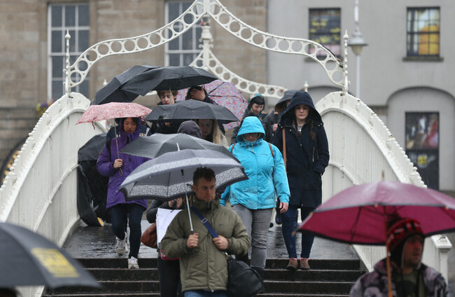
THIS WEEKEND IS to bring heavy rains with possible thundery downpours as well as strong winds across large swathes of the country.
Met Éireann forecasters have warned that we can expect lots of rain today with the heaviest expected in the Munster and south Leinster areas. The sun will attempt to break through at different points of the day but showers will become more widespread as the day goes on. Temperatures are to reach a high of 17 degrees.
Saturday’s forecast doesn’t make for much better reading. The forecasters said they expect the showers to continue and the mercury to dwindle as low eight degrees in certain places across the country.
A forecaster said: “Blustery showers will continue through tonight, heaviest and most prevalent in the west and north of the country with the best of any clearer, drier interludes in the east and southeast. Lows of 8 to 11 degrees celsius in fresh and gusty west to northwest winds, reducing moderate inland.”
Sunday is to be a similar story. Met Éireann said that it expects the unsettled weather to extend into next week and also warned of the risk of gale force winds and rain.
The forecaster added: “Cool and unsettled throughout this weekend and into early next week with a mainly westerly or northwesterly airflow dominating. This will bring showers or longer spells of rain at times, as well as periods of strong winds. Risk of gales with potentially strong gale or storm force gusts inducing large waves in coastal regions of the west and southwest later on Sunday and early on Monday.”

To embed this post, copy the code below on your site













have your say